Dron services
Unmanned aerial vehicles are the latest technologies used in many engineering disciplines. Zedis employs unmanned aerial vehicles for aerial mapping and inspection of infrastructure objects in various industries.
Services we offer in area of Dron services
We offer more then 10 different services in area of Geodesy

Inspection of wind turbines

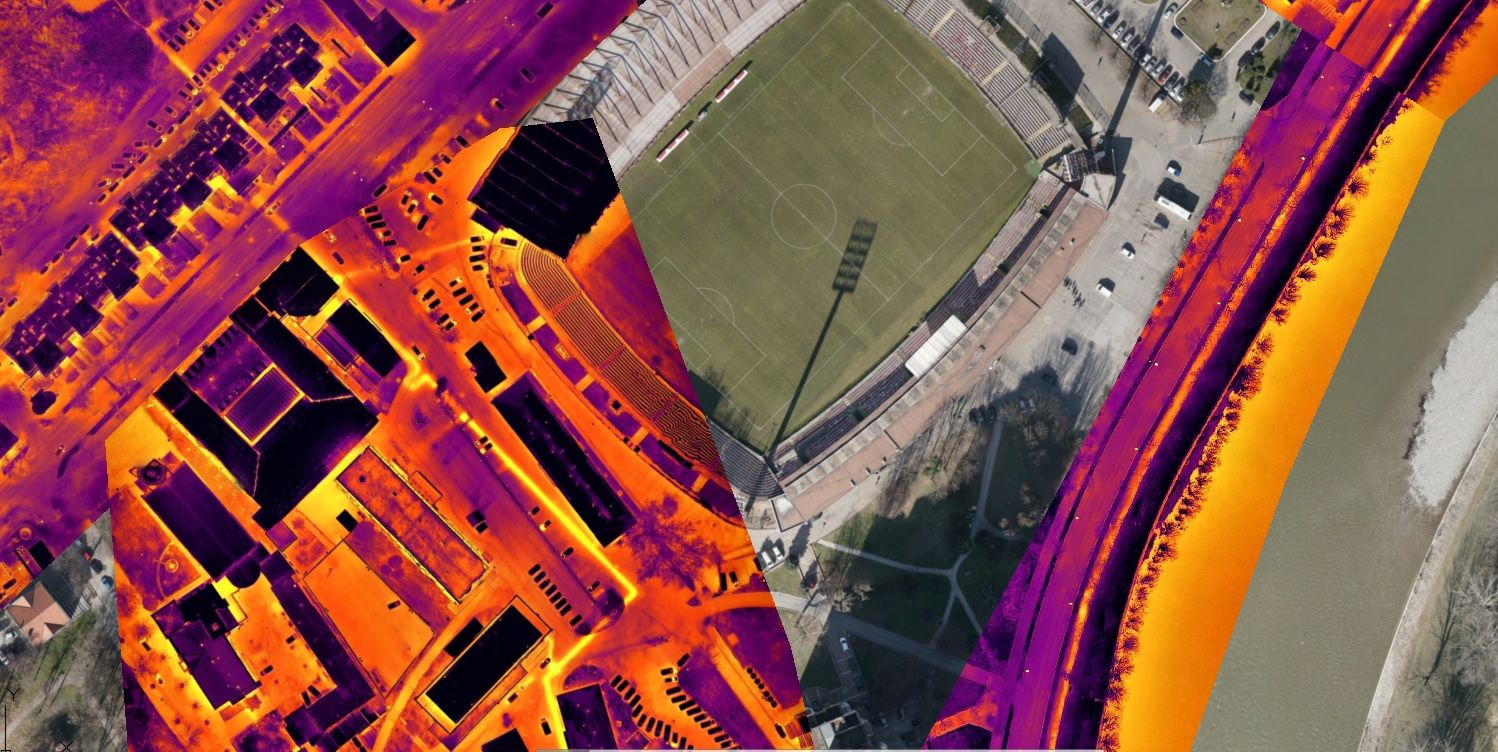
Thermal inspection
Our thermal inspections use advanced technology to survey solar farms, power lines, roofs, and identify any areas of inefficiency.

Lidar mapping
LiDAR (Light Detection and Ranging) refers to a method of capturing geodetic data, where a laser is reflected off an object, and the response time of the sensor allows distance calculation. When numerous laser pulses occur every second, a detailed 3D point cloud of the environment can be generated. LiDAR proves especially useful in areas with dense vegetation, as the laser pulse can more easily penetrate through to the ground compared to photogrammetry.

Solar power plant inspection
We offer professional drone inspections for solar facilities. Our expert drone pilots are fully qualified to survey your location, providing you with a detailed aerial view of your solar farm from above.

Roof and building inspection
Aerial drone images are the most cost-effective way to assess the condition of a roof and support facility management.

Power line inspection
Drones provide insight into the condition of power lines to enhance safety, mitigate risks, and save money.

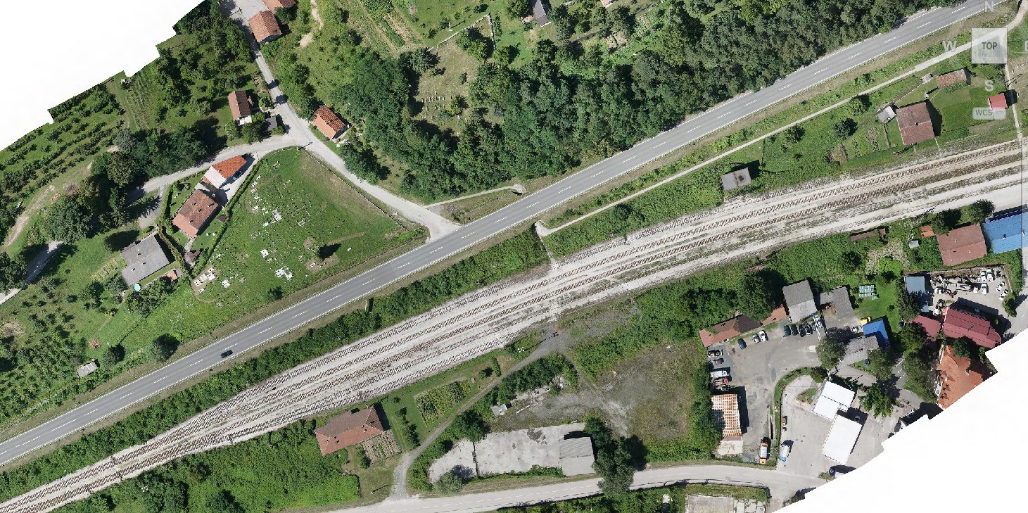
Aerophotogrammetric mapping
Equipped with state-of-the-art surveying drones and a team of skilled surveyors, we deliver results faster, enabling our clients to make informed decisions more quickly. The resolution of our maps and survey data is typically between 1-3 cm per pixel (1-3 cm GSD). We process data to deliver comprehensive 3D terrain models (e.g., DSM, DTM).
Projects from area of Dron services
Take a look at some of the projects we have worked on