


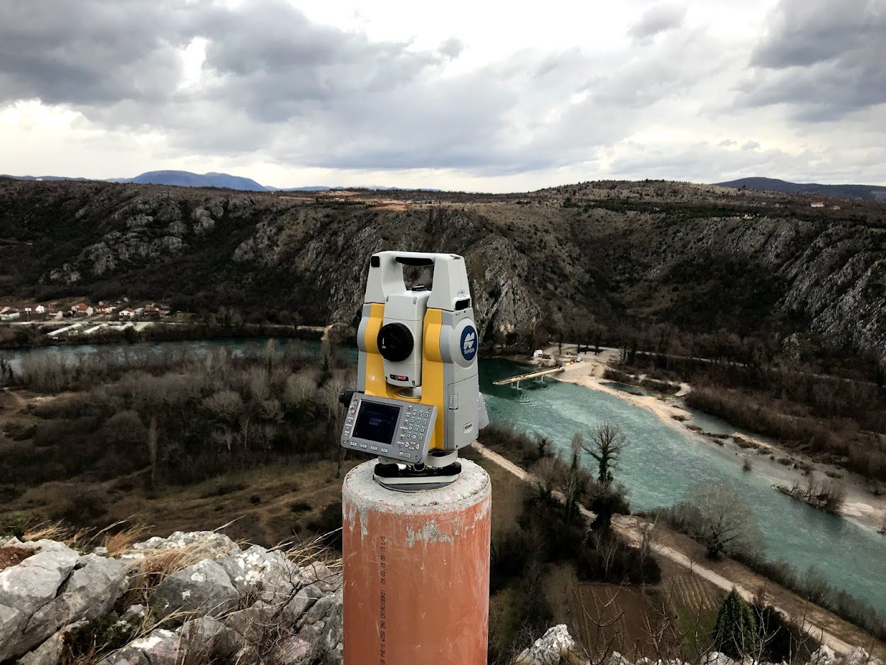
Geodetic network for the construction of the Počitelj Bridge on Corridor VC.

Hering
Usluge
Surveying services
Establishment and renewal of geodetic networks
Datum
February 9, 2020
Lokacija
Počitelj
Reconnaissance of the terrain and assessment of the existing geodetic network conditions. Creation of the geodetic network project. Stabilization of points in the microtriangulation network. Measurements in the microtriangulation network, calculation, and determination of coordinates. The length of the bridge is 945m, and the maximum height is 91m.


