


Creation of geodetic bases for the design of the highway section Putnikovo Brdo – Medakovo

IPSA Institut
Usluge
Surveying services
Datum
March 8, 2019
Lokacija
Tešanj
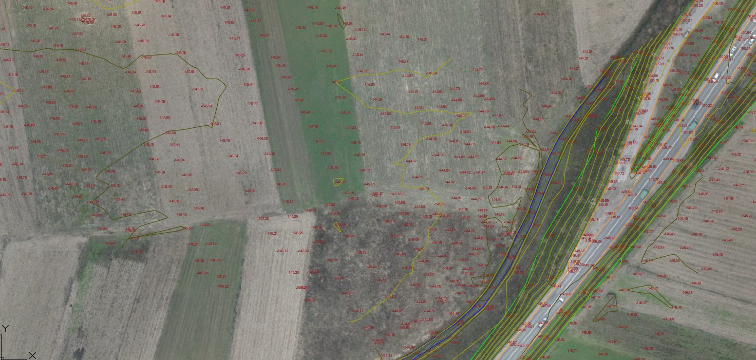
For the purpose of designing the specific section of the highway, stabilization, measurement, and calculation of the geodetic network were carried out. Geodetic terrain surveying, creation of a 3D terrain model, and production of a high-resolution orthophoto map were conducted. The length of the section is approximately 8 km.


