


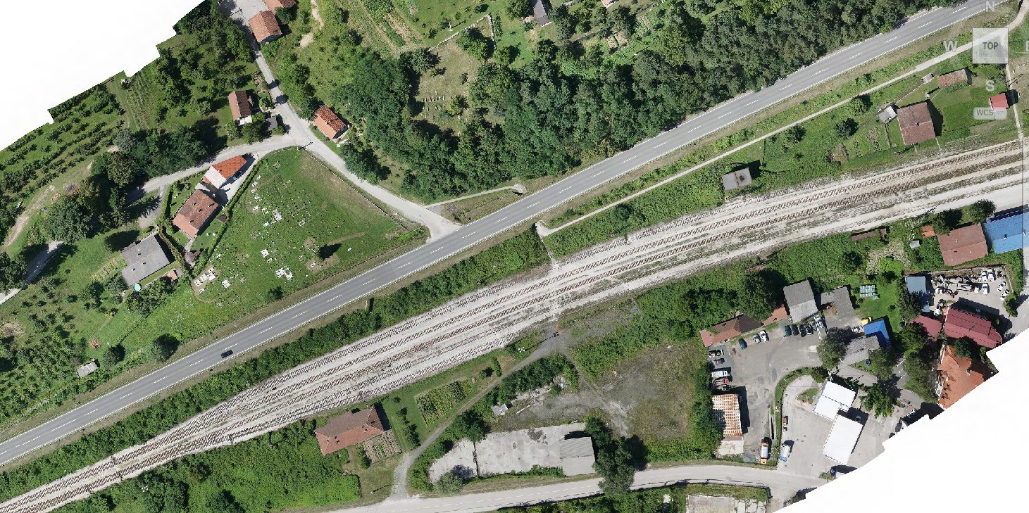
Creation of an orthophoto map for the M17 highway section Ozimice – T.Polje

Mott MacDonald
Usluge
Dron services
Aerophotogrammetric mapping
Datum
August 10, 2020
Lokacija
Zenica
Creation of a high-resolution orthophoto map (2cm). The purpose of map creation is the analysis of road conditions and the development of a traffic safety study.


